Land Survey
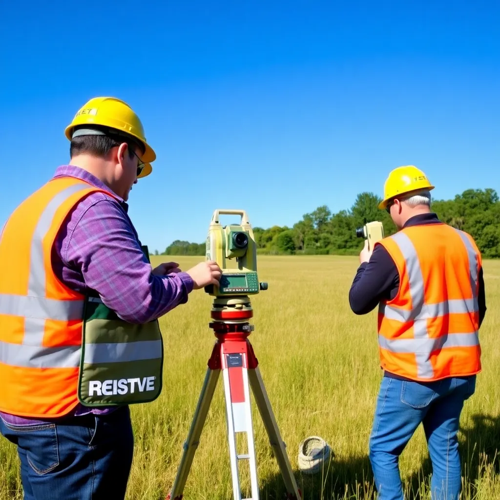
LAND SURVEYS (Sometimes Called Cadastral Or Property Surveys) Are Conducted To Establish The Exact Location, Boundaries, Or Subdivision Of A Tract Of Land In Any Specified Area. This Type Of Survey Requires Professional Registration In All States. Presently, Land Surveys Generally Consist Of The Following Chores:
- Establishing Markers Or Monuments To Define And Thereby Preserve The Boundaries Of Land Belonging To A Private Concern, A Corporation, Or The Government
- Rerunning Old Land Survey Lines To Determine Their Lengths And Directions. As A Result Of The High Cost Of Land, Old Lines Are Remeasured To Get More Precise Measurements
- Calculating Areas, Distances, And Directions And Preparing The Land Map To Portray The Survey Data So That It Can Be Used As A Permanent Record.
- Writing A Technical Description For Deeds.